PASAJES Librería internacional: su libro en español, inglés, francés, alemán, italiano, portugués o del idioma que busque en casa.
Usted se encuentra en:
Inicio
/ Libros
/ INGLÉS / Viajes, gastronomía y geografía / Geografía y cartografía /
Menú principal
Acceso a clientes
Mi pedido:
Mi pedido
0 artículos
0,00 €
Novedades y recomendados de PASAJES
-
- Collins (Uk), 2017
Libro encuadernado en espiral · 176 páginas
PVP: 16,20 €
ISBN 978-0-00-821455-5
EAN 9780008214555
The ultimate 3.2 miles to 1 inch scale A3 spiral bound road atlas of Britain for 2018, featuring Collins' popular and well-established road mapping. Designed for exceptional clarity and ease of use. This fully updated road atlas covers the whole of Britain with each scale of mapping colour-coded for ease of use.The smallest scale maps ...
más informaciónSin ejemplares (se puede encargar)
-
- Collins (Uk), 2017
Libro encuadernado en tapa blanda · 176 páginas
PVP: 13,50 €
ISBN 978-0-00-821460-9
EAN 9780008214609
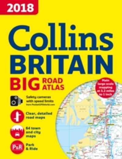
The ultimate 3.2 miles to 1 inch scale large format paperback road atlas of Britain for 2018, featuring Collins' popular and well established road mapping, and designed for exceptional clarity and ease of use. The atlas also includes a wide range of urban area maps at even larger scale and 64 detailed town centre street ...
más informaciónSin ejemplares (se puede encargar)
-
- Collins (Uk), 2017
Libro encuadernado en tapa blanda · 208 páginas
PVP: 20,30 €
ISBN 978-0-00-822357-1
EAN 9780008223571
Fully updated essential guide to exploring Britain by train, Railway Day Trips is ideal for anyone planning or looking for inspiration for a rail journey. From bestselling railway author Julian Holland.This pocket companion is perfect for both casual and seasoned rail travellers. Plan adventures, follow the changing landscape through the train window and discover fascinating ...
más informaciónSin ejemplares (se puede encargar)
-
- Collins (Uk), 2017
Libro encuadernado en espiral
PVP: 8,10 €
ISBN 978-0-00-821418-0
EAN 9780008214180
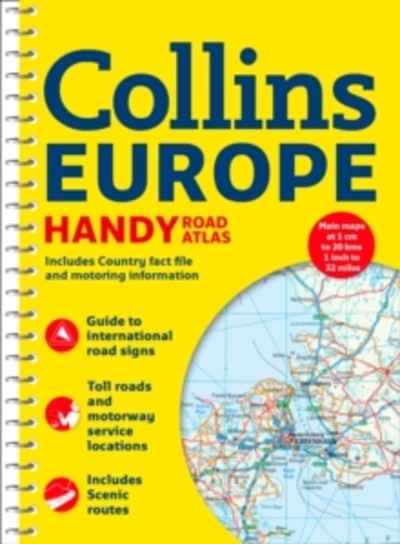
Handy A5 format road atlas of Europe with lie-flat spiral binding. Ideal format for both drivers and those travelling by public transport. Scenic routes are plotted on the maps.Scale: 1:2,000,000MAIN FEATURESHandy A5 format road atlas of Europe at 34 miles to 1inch. Euroroutes and motorways are easily distinguished on the mapping. The maps also show ...
más informaciónSin ejemplares (se puede encargar)
-
- Collins (Uk), 2017
Libro encuadernado en tapa blanda · 144 páginas
PVP: 6,00 €
ISBN 978-0-00-821415-9
EAN 9780008214159
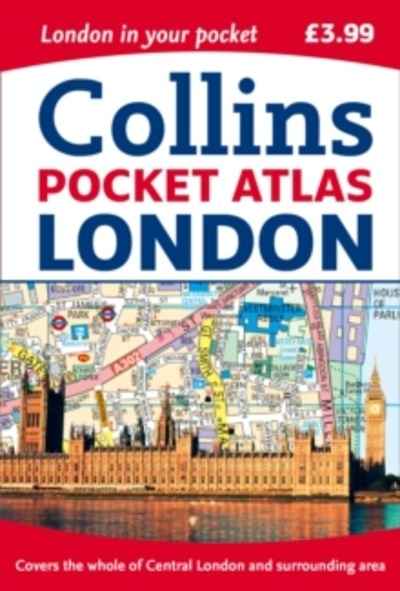
This fully updated atlas features clear Collins street mapping of Central London and the surrounding area. Coverage is from Chiswick in the west to Barking in the east, and Hampstead in the north to Dulwich in the south. Scale is 1:20,000 (3.17 inches to 1 mile).Coverage of Central London is at 1:12,500 (5.1 inches to ...
más informaciónSin ejemplares (se puede encargar)
-
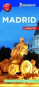
Plano Madrid
Laminated- Michelin, 2017
Libro encuadernado en tapa blanda
PVP: 9,50 €
ISBN 978-2-06-721418-7
EAN 9782067214187
Encuentre todas las informaciones prácticas para recorrer Madrid a pie, en coche o en bicicleta.El plano MICHELIN Madrid, a escala 1/13 000 (1cm = 130m), es ideal para descubrir la capital española.Para completar la información incluye: transportes, taxis, estaciones de servicio, sentidos de circulación, parkings...y un anexo con el índice de todas las calles.Incluye signos ...
más informaciónSin ejemplares (se puede encargar)
-
- Collins (Uk), 2016
Libro encuadernado en tapa blanda · 304 páginas
PVP: 23,00 €
ISBN 978-0-00-819547-2
EAN 9780008195472
Exploring Britain's most beautiful waterways. Discover a hidden countryside which is packed with wildlife along with industrial heritage. Regarded as the 'quickest way of slowing down', the canals and rivers of Britain evoke a bygone era when life moved at a more leisurely pace.A selection of Britain's main navigation's are shown. Waterways of Britain offers ...
más informaciónSin ejemplares (se puede encargar)
-
- Collins (Uk), 2016
Libro encuadernado en tapa blanda · 224 páginas
PVP: 20,30 €
ISBN 978-0-00-816358-7
EAN 9780008163587
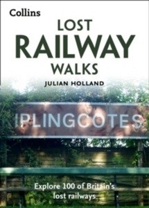
100 selected walks across the length and breadth of Britain's lost railway lines. Each walk includes a short history of the railway before it closed, a description of what can be seen along it today, practical details such as car parking, access by public transport, a detailed route map and historical and modern day photographs.4,500 ...
más informaciónSin ejemplares (se puede encargar)
-
- Collins (Uk), 2016
Libro encuadernado en tapa blanda · 256 páginas
ISBN 978-0-00-813665-9
EAN 9780008136659
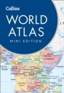
This new edition of this popular pocket-sized world atlas has fully up-to-date mapping and statistics, and includes the latest interesting facts about the world. This new edition of the popular Mini World Atlas has been brought fully up-to-date to reflect all recent global changes. Designed in the distinctive Collins style, this is a detailed guide ...
más informaciónSin ejemplares (se puede encargar)
-
- Collins (Uk), 2016
Libro encuadernado en tapa blanda · 304 páginas
PVP: 20,30 €
ISBN 978-0-00-816357-0
EAN 9780008163570
Discover the fascinating histories and routes of 50 of the world's most scenic railways. Railway expert Julian Holland takes you on a journey around the world.Take a journey around the world by rail, from the American Rockies to the Australian outback, covering 50 routes from 35 countries. Detailed commentary on the geography and history of ...
más informaciónSin ejemplares (se puede encargar)
-
An Atlas of Countries that Don't Exist
A Compendium of Fifty Unrecognized and Largely Unnoticed States- Pan, 2015
Libro encuadernado en tapa dura · 240 páginas
PVP: 33,70 €
ISBN 978-1-4472-9527-3
EAN 9781447295273
Acclaimed travel writer and Oxford geography don Nick Middleton takes us on a magical tour of countries that, lacking diplomatic recognition or UN membership, inhabit a world of shifting borders, visionary leaders and forgotten peoples. Most of us think we know what a country is, but in truth the concept is rather slippery. From Catalonia ...
más informaciónSin ejemplares (se puede encargar)
-
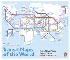
Transit Maps of the World
Every Urban Train Map on Earth- Particular, 2015
Libro encuadernado en tapa blanda · 176 páginas
PVP: 28,50 €
ISBN 978-0-14-198144-4
EAN 9780141981444
Transit Maps of the World is the first, comprehensive collection of every rapid-transit system on earth. Using glorious, colourful graphics, Mark Ovenden traces the history of urban transport systems, including rare and historic maps, diagrams, and photographs. Transit Maps could not be more relevant to our modern existence.It uncovers the way many of us are ...
más informaciónSin ejemplares (se puede encargar)
-
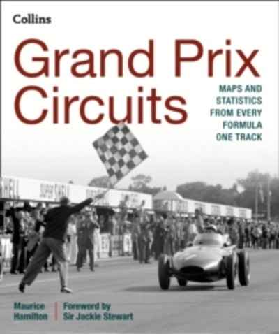
- Collins (Uk), 2015
Libro encuadernado en tapa dura · 304 páginas
PVP: 40,55 €
ISBN 978-0-00-813660-4
EAN 9780008136604
For the first time, the stories of every venue to host a Formula One World Championship race have been brought together with bespoke digital maps of each track to create the ultimate guide to the circuits of F1. Written by award-winning journalist Maurice Hamilton with a foreword from three-time World Champion Sir Jackie Stewart.The book ...
más informaciónSin ejemplares (se puede encargar)
-
- Harper Collins, 2015
Libro encuadernado en tapa dura · 312 páginas
PVP: 48,65 €
ISBN 978-0-00-813666-6
EAN 9780008136666
Fully revised general reference atlas in the exciting Collins World Atlas range. Highly detailed maps giving balanced worldwide coverage, beautifully illustrated thematic pages and thousands of facts and statistics, including world and continental ranking tables. TOP OF THE RANGE ATLAS This Collins world atlas presents a complete view of the world, bringing it to life ...
más informaciónSin ejemplares (se puede encargar)
-
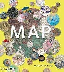
- Phaidon, 2015
Libro encuadernado en tapa dura · 352 páginas
PVP: 56,20 €
ISBN 978-0-7148-6944-5
EAN 9780714869445
300 stunning maps from all periods and from all around the world, exploring and revealing what maps tell us about history and ourselves. Selected by an international panel of cartographers, academics, map dealers and collectors, the maps represent over 5,000 years of cartographic innovation drawing on a range of cultures and traditions. Comprehensive in scope, ...
más informaciónSin ejemplares (encargos sólo en librería)
-
From visiting Santa's home in Palland to spotting penguins in Patagonia or touring temples in Laos, this books makes family travel easier.Our team of parent-authors provides ideas and advice for every aspect of travelling with junior adventurers, giving parents the tools and the confidence to plan the trip of a lifetime in more than 80 ...
más informaciónSin ejemplares (se puede encargar)
-
- Collins (Uk), 2015
Libro encuadernado en tapa blanda · 304 páginas
PVP: 20,30 €
ISBN 978-0-00-813953-7
EAN 9780008139537
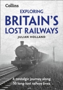
Exploring Britain's Lost Railways gives the historical background to over 50 lost railway lines, along with descriptions of the route today for walking and cycling.Each route is highlighted on historical Ordnance Survey mapping, showing which parts can still be followed today. The carefully researched text is accompanied by historical photographs showing each line in operation ...
más informaciónSin ejemplares (se puede encargar)
-
Sin ejemplares (se puede encargar)
-
1001 Walks
you must Experience before you Die- Octopus, 2015
Libro encuadernado en tapa blanda · 960 páginas
PVP: 31,75 €
ISBN 978-1-84403-791-9
EAN 9781844037919
1001 Walks You Must Experience Before You Die features wide-ranging, carefully chosen routes varying from the rugged delights of the Pembrokeshire Coastal Path to the wilderness of Jamaica, and the Harz Witches' Trail high up in the German mountains. The hand-picked excursions take in mountain passes, woodland paths, ancient Native-American trails, and much more. There ...
más informaciónSin ejemplares (se puede encargar)
-
Libro · 1 páginas
PVP: 3,50 €
ISBN 978-84-942648-5-6
EAN 9788494264856
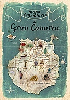
Este mapa legendario en inglés nos acerca a las leyendas del libro Cuentos antiguos de Gran Canaria. Con una magnífica ilustración de la isla en la que podemos localizar geográficamente las historias más significativas. En el reverso podéis encontrar los cuentos populares más simbólicos y por el anverso las ilustraciones.
más informaciónSin ejemplares (se puede encargar)
