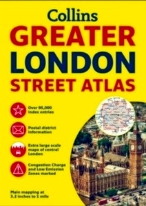
Greater London Street Atlas

Editorial Harper Collins
Fecha de edición julio 2016 · Edición nº 1
Idioma inglés
EAN 9780008112790
484 páginas
Libro
encuadernado en tapa blanda
Resumen del libro
The ultimate street atlas of London. It features incredibly detailed street level maps, with over 40 categories of information, covers 1660 square miles in and around London and includes over 95,000 street names. This is the definitive reference atlas for London. Scale: 1:10,000 Central area, 1:20,000 Main area, 1:63,360 Urban maps. Coverage at 1:20,000 scale (3.2 inches to 1 mile) is from Welwyn Garden City in the north to Gatwick Airport in the south, and from Windsor in the west to Gravesend in the east. The 1:10,000 (6.3 inches to 1 mile) scale extends from Highbury in the north to Clapham in the south and from Shepherd's Bush in the west to Beckton in the east. Also features: * London Underground map. * Airport plans. * Full index to street names and places of interest, also hospitals, schools, colleges and stations. First published in 1976 under the Geographia imprint, the Greater London Street Atlas has gone from strength to strength with improvements made to the contents and the map quality over the years. For 2016 the atlas has undergone a full revision involving exhaustive research using a variety of sources (including extensive ground surveys) resulting in thousands of updates being made to the map detail.


